Offshore wind farm operations and maintenance
- Energy
Offshore wind farms operate in harsh and fast-changing marine environments, where safe maintenance windows are limited and downtime can be extremely costly.
For operations managers, deciding when to mobilise crews requires timely, reliable information on wind, waves and sea-state conditions.
Copernicus Earth observation data supports these decisions by providing a wider, forecast-informed view of the offshore environment, helping reduce aborted missions, minimise downtime and improve crew safety.
€
-
M/hour
This is the estimated cost of wind farm downtime
offshore energy operator
Offshore wind park operations and maintenance
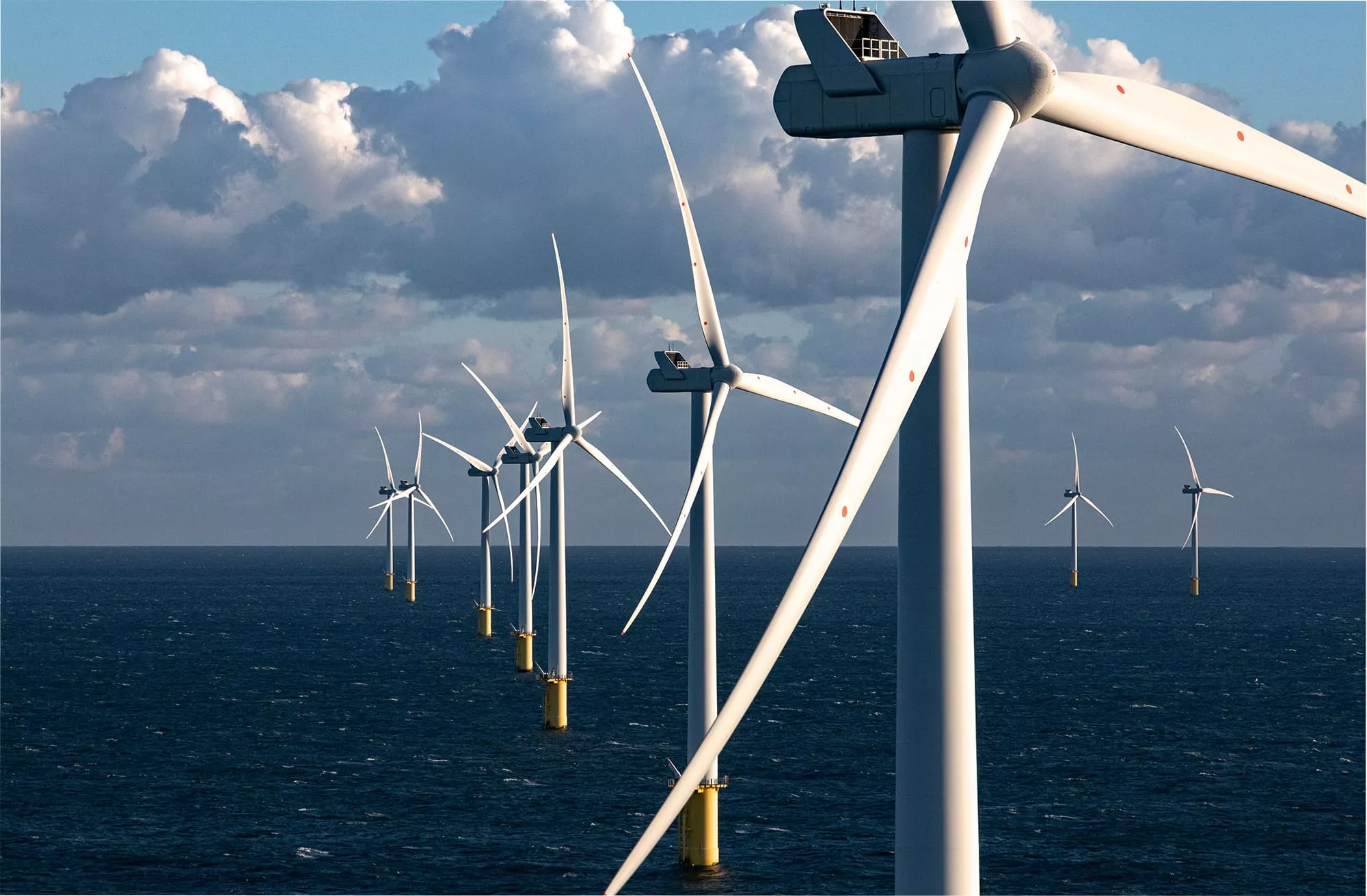
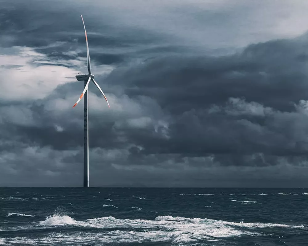
Offshore windfarms operate in one of the harshest environments on Earth.
Strong winds, waves, and currents strongly affect operations and maintenance (O&M) windows. Offshore downtime is furthermore extremely costly (€2-3 million per hour) and addressing issues is logistically complex.
Operators are expected to:
- Rapidly detect faults (such as gearbox damage, generator issues, blade erosion, corrosion) and diagnose issues
- Faults such as sensor errors, pitch control issues, and software shutdowns can often be diagnosed and reset remotely via SCADA, but mechanical and electrical failures (gearbox, blade damage, cable faults) require physical crew transfer
- Address faults as soon as possible, while ensuring safe access for crews and vessels, by identifying weather-driven O&M windows
One type of stakeholder is particularly affected.
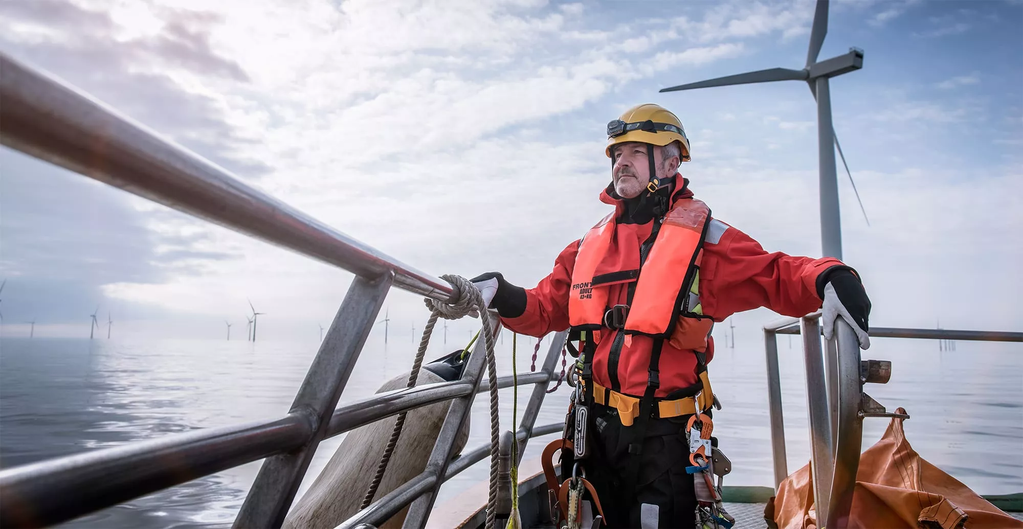
Windfarm operations managers needs timely situational awareness on metocean conditions to support decision making (i.e. send in the crew or not), to reduce downtime and control losses, without exposing personnel to unacceptable risks.
Why this matters?
For a windfarm Operations Manager, the decision to mobilise a crew is high-stakes. Acting too early may expose personnel to unsafe sea states or result in aborted missions. Acting too late may extend turbine downtime and compound financial losses. In highly developed basins such as the North Sea, where weather systems change rapidly and marine traffic is dense, these decisions must often be taken with incomplete information and under time pressure.
Introducing EO
Earth observation (EO) provides an independent, wide-area view of the marine environment surrounding offshore windfarms. Using services that combine satellite and in-situ data, operators can complement turbine SCADA systems and conventional forecasts with spatially consistent forecast information on sea state, wind fields and surface conditions.
For a windfarm operations manager, this translates to clearer, faster and more defensible operational decisions, which reduces the likelihood of aborted missions and improves timing of interventions.
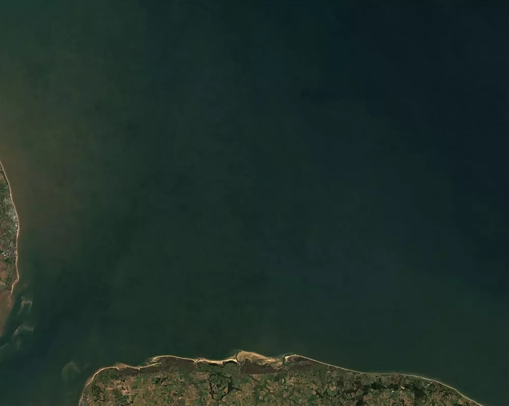
True colour composite (Sentinel-2) of North sea
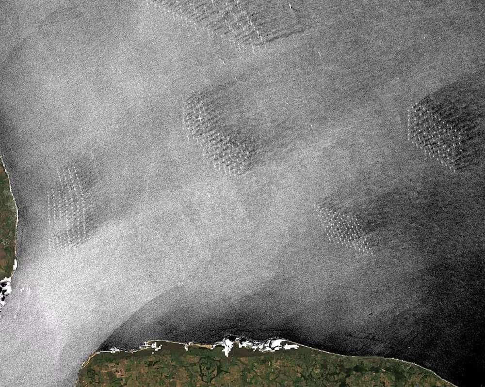
Sentinel-1 representation of wind wakes (26 October 2025): reduced wind speed that form downwind of large turbine arrays, lowering energy yield at neighbouring farms by up to 20%
Drivers and pathways
To understand whether an intervention window is truly feasible, operators must look beyond a single wave forecast and consider the drivers that shape sea state and access conditions across the windfarm area.
Wind fields are a primary driver. Spatial variations in wind speed and direction influence wave generation, vessel operability and turbine loading. Satellite-derived wind products and modelled metocean datasets help contextualise how conditions may evolve across the asset rather than at a single point location.
Wave dynamics and swell propagation also matter. Even when local winds decrease, the residual swell from a previous storm can keep wave heights above crew transfer limits days later, delaying maintenance activities. Consistent wave and swell information allows operators to assess whether improving conditions are operationally usable or still restrictive.
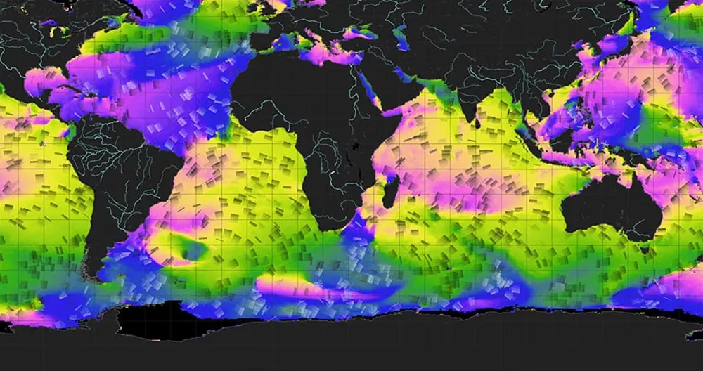
Copernicus Marine Service — sea surface wave direction. Global wave propagation fields derived from the Copernicus Marine Service show how swell systems travel across ocean basins. For offshore wind operators, this product helps distinguish locally generated wind waves from long-range swell, both of which affect crew transfer limits and turbine accessibility.
Near-real-time-time and forecast wave height products
The Copernicus Marine Service provides near-real-time and forecast wave height products that are directly relevant for offshore wind O&M planning. Services such as the Global Ocean Waves Analysis and Forecast offer consistent information on how sea state is evolving over the coming hours and days.
For O&M teams, wave height is often a hard operational constraint: it affects whether crew transfer is possible, how long a safe access window may last, and whether planned work can realistically be completed.
By integrating Copernicus wave products into planning workflows, operators can:
- Anticipate changes in sea state across the windfarm area
- Compare different time horizons to identify the most viable intervention window
- Reduce uncertainty when deciding whether to mobilise vessels and crews
In practice, these products complement local measurements and commercial forecasts by adding an additional, standardised reference layer, helping operations managers make more confident, risk-balanced decisions when timing is critical.
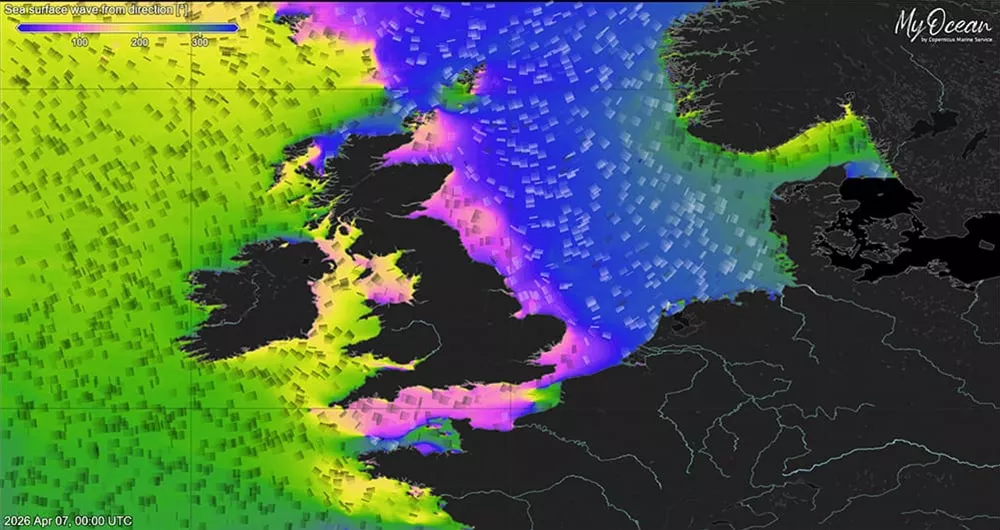
Significant wave height (Hs). Global Ocean Waves Analysis and Forecast. This product shows how wave energy propagates from the open Atlantic into the North Sea. Operators use this to judge whether sea states at a given wind farm will remain below crew transfer limits (typically 1.5 m Hs) over the planned maintenance window.
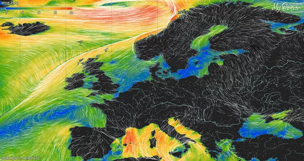
Significant wave height (Hs). Surface wind speed and direction. Wind field forecasts from the same service show the spatial structure of incoming weather systems. For offshore wind O&M, what matters is not just the wind at the turbine but how conditions upstream are evolving, since a strong gradient approaching from the west can close a window hours earlier than a point forecast suggests.
Dashboard (Fictional)
Key insights can be obtained by having relevant and up-to-date information on key decision making facturs such as wave height, wind speed, and possibe maintance windows.
This is an interactive dashboard. Click on the various wind farms to access detailed information.
Who benefits
from Copernicus
Through Copernicus data and services, windfarm operations managers gain a wide-area and forecast-informed view of metocean conditions affecting offshore operations and maintenance.
This supports more proactive and risk-aware planning of interventions in a dynamic marine environment.
Copernicus wave forecasts reduce offshore wind downtime costs
A situation where an earlier access-window enables a 4 hours faster dispatch, €10M per full-farm indcident could be saved.
This is an illustrative example based on insights from an offshore energy farm operator.
Source: Offshore energy farm operator
(€2-3M/h all-in economic impact for full-farm outage). €2.5M/h applied.
Benefits for a windfarm operations manager:
• Identify viable O&M weather windows earlier by monitoring wave height, wind and sea-state evolution across the entire windfarm area. The potential cost savings are in the millions, even when responding only a few hours earlier.
• Reduce aborted missions by cross-checking forecasts with independent,
spatially consistent marine data.
• Optimise vessel and crew mobilisation by selecting the most feasible intervention timing.
• Minimise downtime by aligning maintenance actions with stable access conditions.
• Improve safety margins by better assessing wave height thresholds
for crew transfer and offshore works.
• Enhance planning of maintenance campaigns by understanding recurring
etocean patterns over time.
Explore this
further with us
Copernicus Sentinel data and many Copernicus service products are free and openly available, making it easier to scale monitoring across multiple sites and regions.
EUSPA can help interested stakeholders by helping identify fit-for-purpose Copernicus datasets, designing meaningful indicators, and connecting with EO service providers to operationalise dashboards, reporting and alerts.