Urban green roof potential
- Urban development
Urban planners and infrastructure managers are responsible for adapting dense cities to a warming climate, balancing public health, energy efficiency, and stormwater resilience.
Yet opportunities such as green roof retrofits are often invisible from the ground, scattered across thousands of buildings with very different structural conditions and benefit profiles.
Heat-related stress on European cities has risen sharply over the past decades.
-
km²
of European soil were newly sealed between 2012 and 2018, releasing 4.2 million tonnes of carbon.
Green roof potential
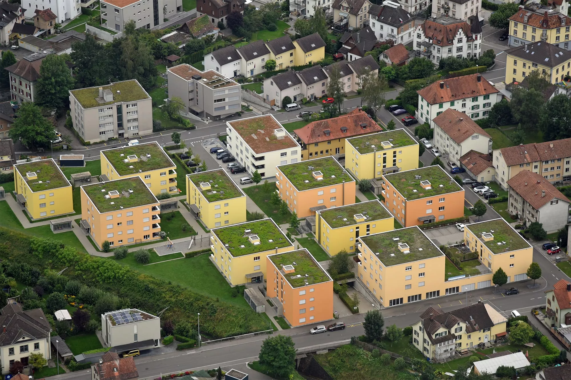
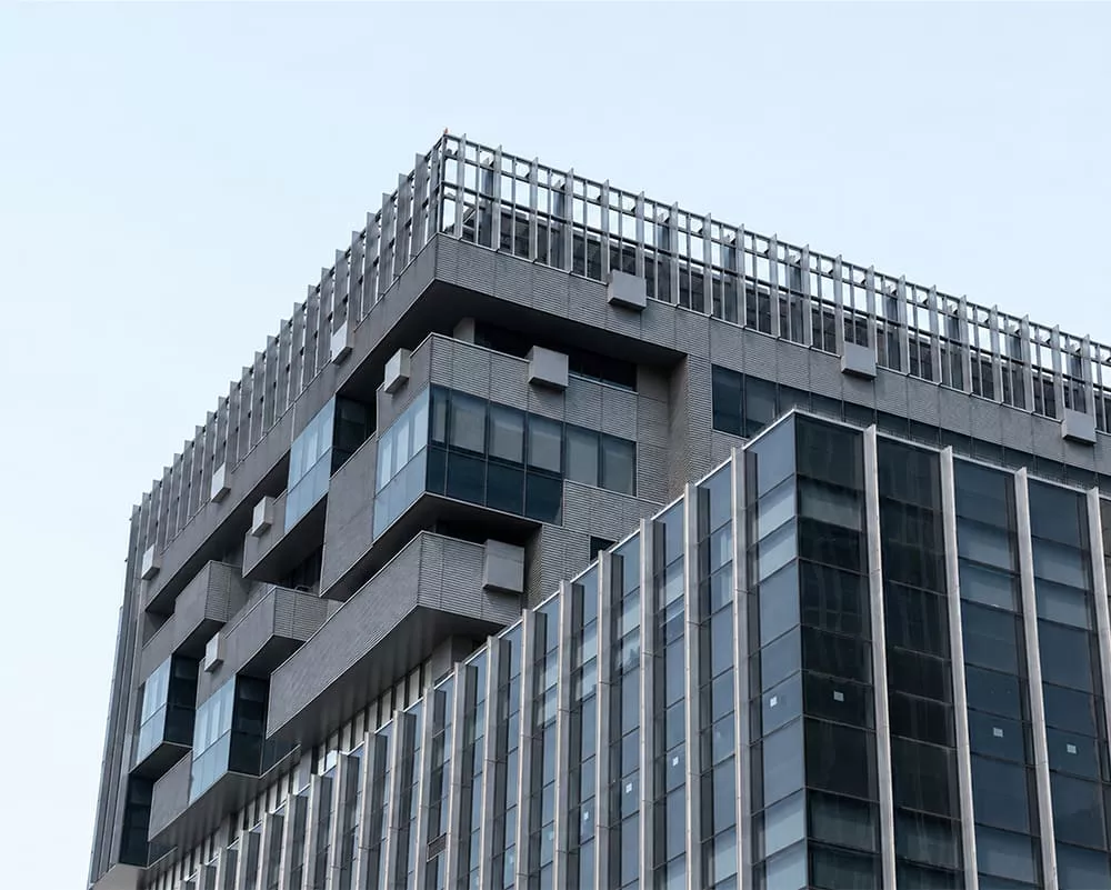
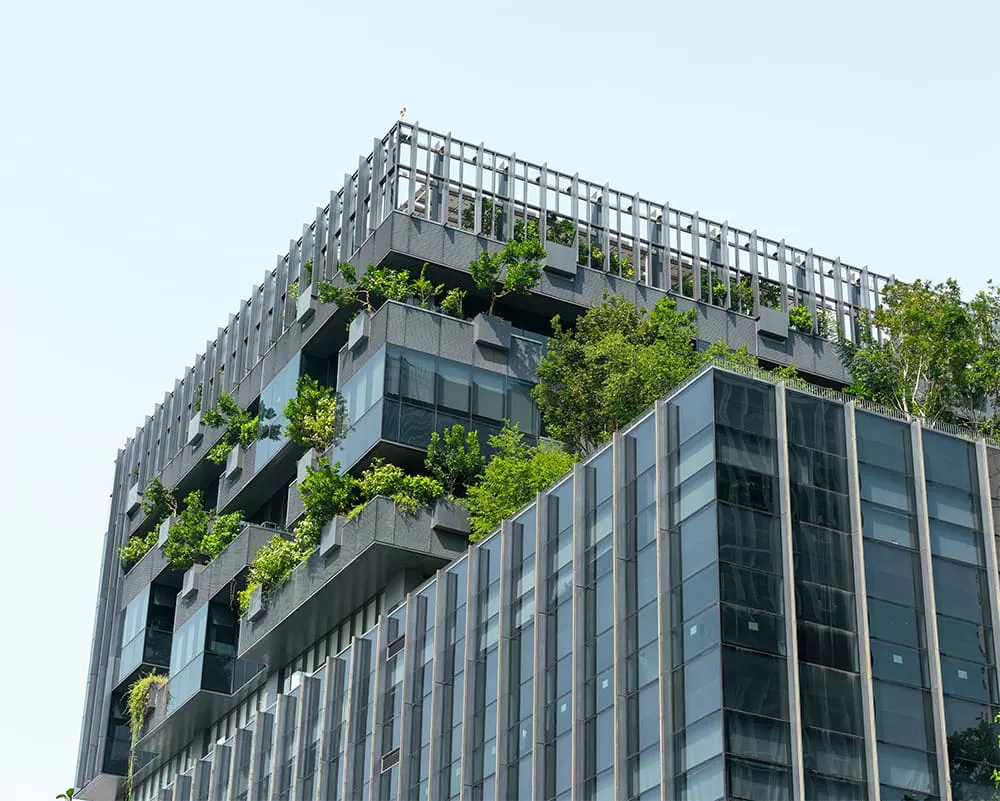
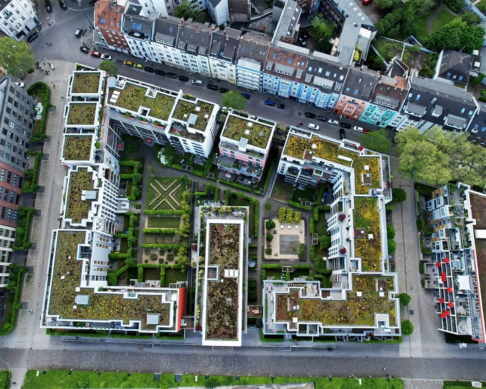
Green roofs are one of the most widely implemented Nature-based solutions (NbS) in cities, providing multiple environmental, social and economic benefits:
- They reduce the risk of flooding by retaining rainwater.
- They lower ambient temperatures and help mitigate the urban heat island effect.
- They improve building energy efficiency by providing insulation.
- They provide additional benefits such as urban agriculture, biodiversity, improved well-being and noise reduction.
However, retrofitting every roof is neither feasible nor cost-effective. Cities must identify which buildings are technically suitable for green roofs and prioritise those where implementation would deliver the greatest environmental benefits. As with many nature-based solutions, this requires balancing multiple objectives, including heat mitigation, stormwater management, biodiversity enhancement and climate resilience.
The need for a green roof suitability map
Cities across Europe are already showing that mapping a building's potential for green roofs can directly shape urban policy. Vienna, for instance, maintains a public green-roof potential cadastre that identifies which roofs are suitable for greening and ties this directly to municipal subsidies of up to €20,000 per building (Stadt Wien, MA 22). This precedent illustrates how a green-roof potential layer can translate directly into municipal funding and policy action once paired with a clear implementation pathway.
How do cities prioritise roofs to retrofit today?
Municipalities typically begin by identifying roofs that are technically feasible for green roof retrofitting using cadastral information, building characteristics, engineering assessments and local planning data. This technical suitability assessment is a prerequisite for implementation and often represents the main focus of municipal planning efforts.
The next step is to prioritise technically suitable roofs based on the environmental benefits they could deliver; this has been far less common at city scale. Doing so requires consistent spatial information on heat exposure, vegetation cover, runoff potential and other environmental factors, which has not traditionally been available across entire cities. This is where Copernicus can help make a difference.

Introducing EO
Copernicus Earth observation (EO) data complement existing suitability assessments by providing consistent, city-wide information on environmental conditions. Satellite-derived land-surface temperature, vegetation cover and imperviousness reveal where green roofs are most likely to reduce urban heat, increase vegetation and improve stormwater management, thus providing the greatest benefit.
Rather than replacing engineering assessments, EO helps municipalities prioritise investments across thousands of buildings, providing an evidence-based starting point for detailed feasibility studies and retrofit planning.
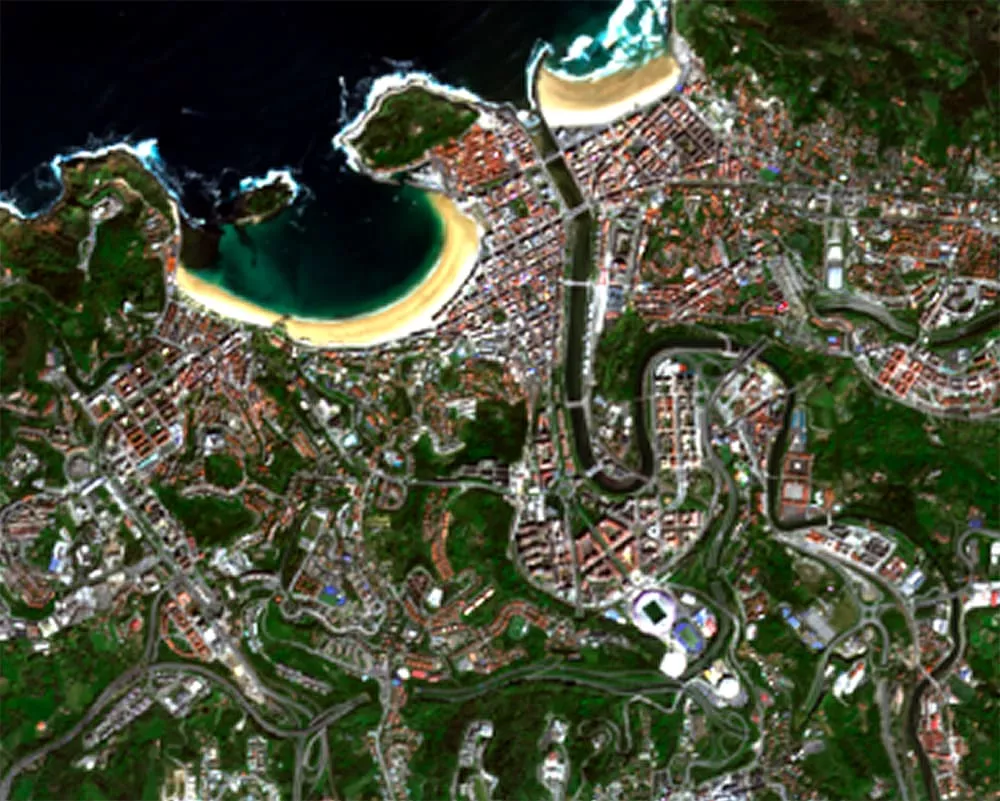
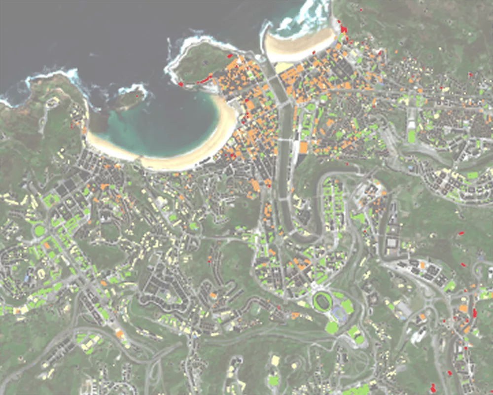
San Sebastian, (Spain)
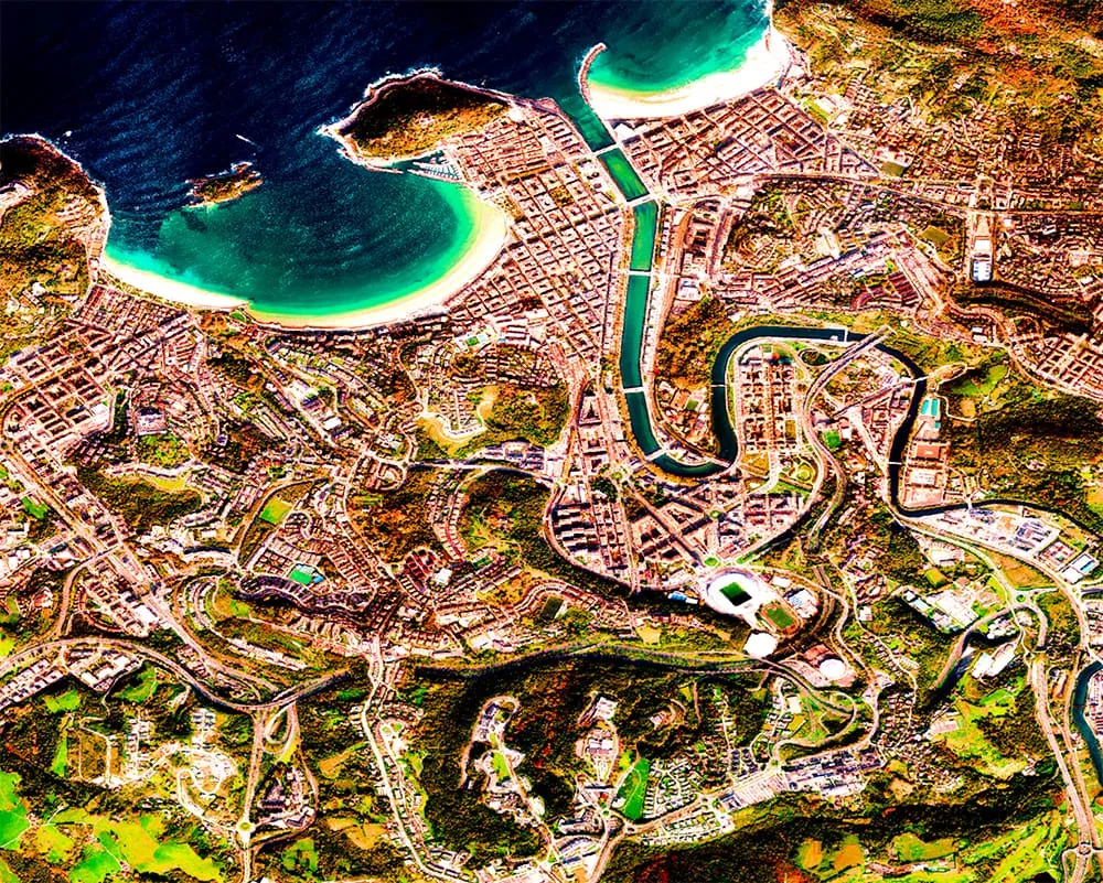
Green roof suitability
The first step is to assess which buildings are potentially suitable for green roof retrofits. Structural characteristics, roof geometry, and available surface area determine whether retrofitting is feasible. Recent advances in Earth observation are beginning to support this assessment at city scale, offering a complementary approach to traditional engineering and cadastral data.
To know the detailed geometry of the city, LIDAR data are needed to create a detailed surface model (DSM). VHR optical data or even Sentinel-2 could provide an initial image of the urban structure where LIDAR data are not available.
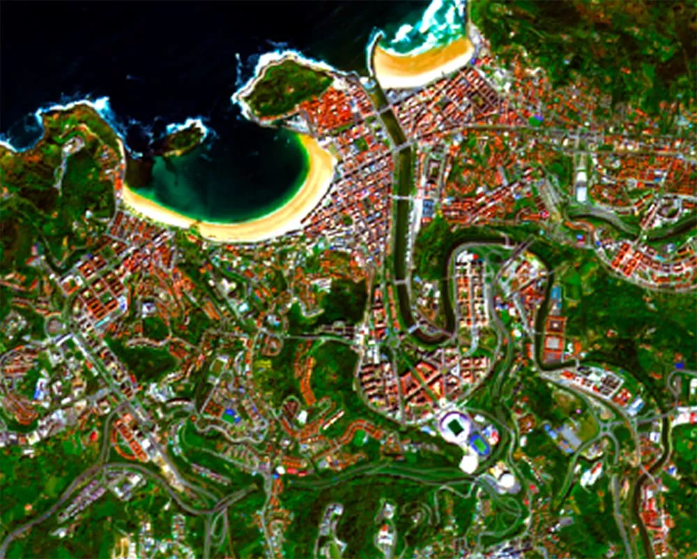
Optical imagery from Sentinel-2 can allow us to pinpoint building roofs covered with red tiles (very common in many European cities), which often present structural and technical challenges for retrofitting compared to flat concrete roofs.
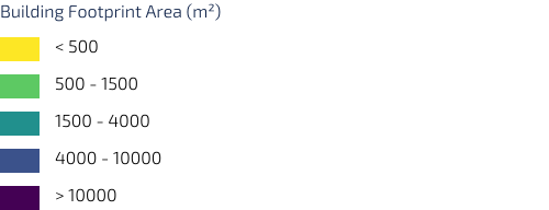
Minimum roof area is another important criterion. Very small rooftops may not be practical for installation or maintenance. Roofs and their area can easily calculated from ready-made building datasets (like OSM), or if such a dataset is not available they be extracted from EO data, such as VHR optical imagery or DSM.
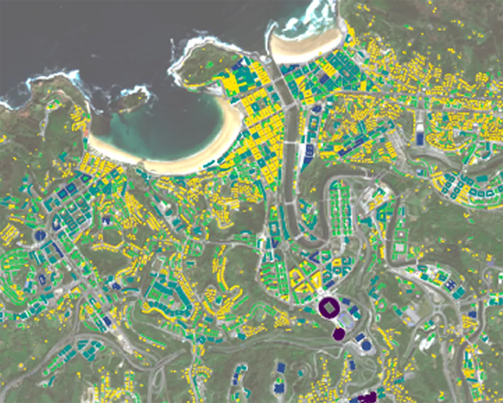
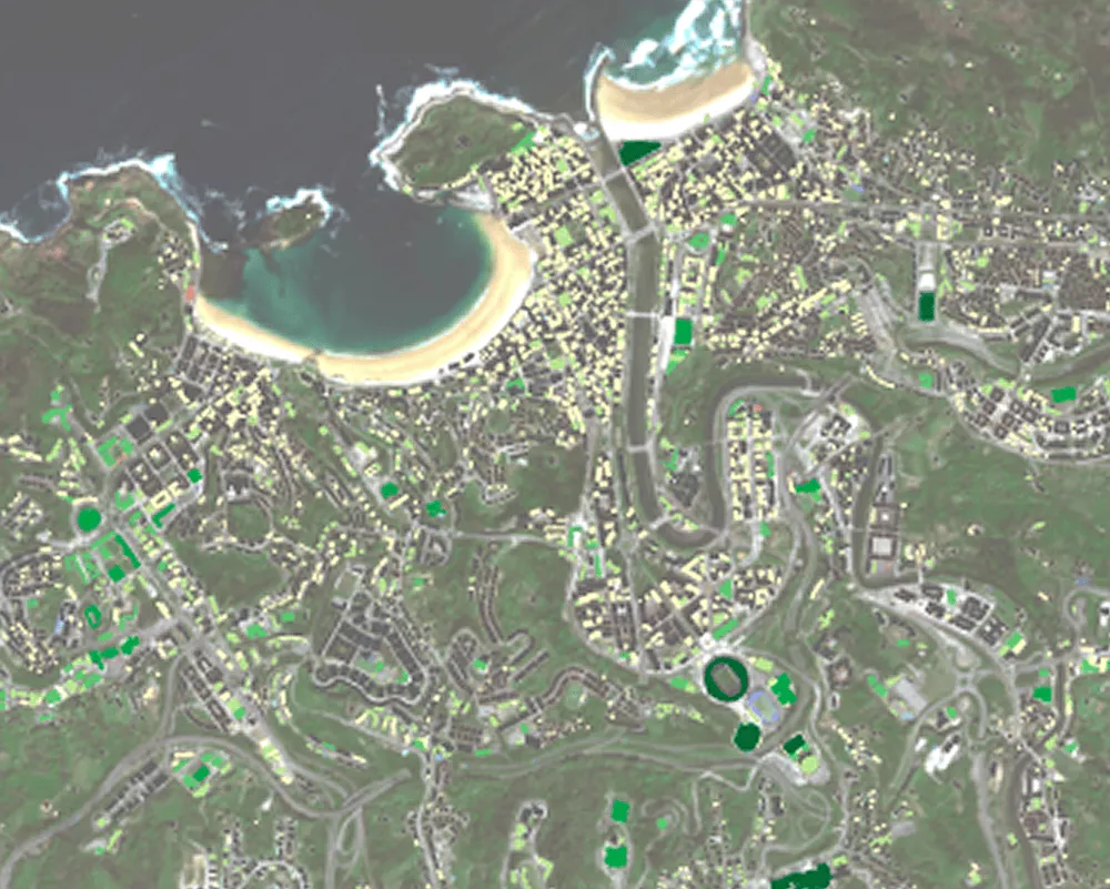
Put together, these criteria can be combined to produce a roof-suitability map, representing the maximum technical potential for green-roof installation across the city.

Green roof benefit
Once suitable rooftops are identified, Copernicus data can help estimate the environmental benefits that green roofs could provide at city scale.
This represents an emerging application of Earth observation, demonstrating how satellite data could support the prioritisation of nature-based solutions.
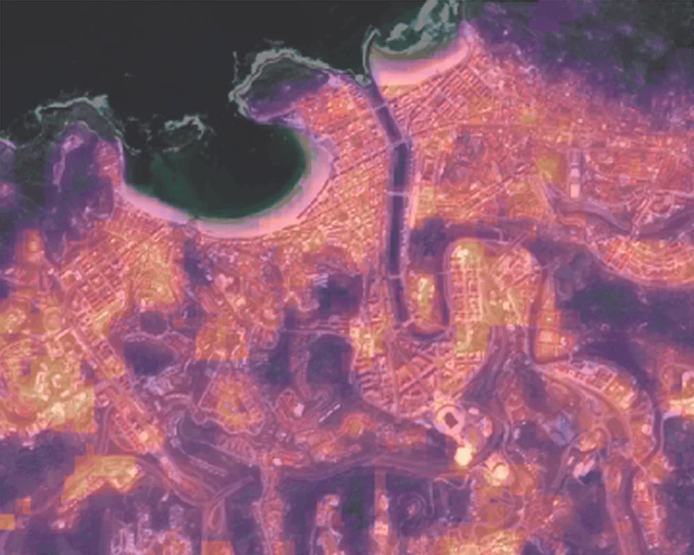
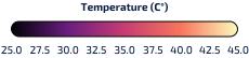
Land-surface temperature observations from Copernicus missions such as downscaled Sentinel-3, Copernicus contributing missions (like Landsat), or (in the future) LSTM, reveal spatial patterns of urban heat exposure.
LST maps highlight heat hotspots, allowing the city to prioritise green roof retrofitting where it would have the greatest impact.
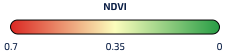
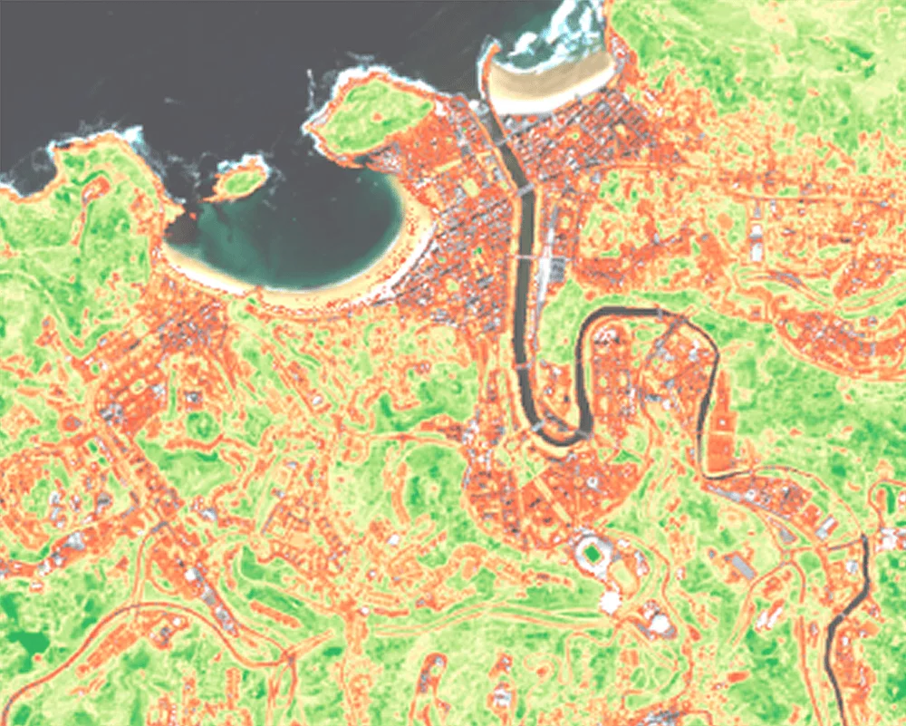
Vegetation indicators derived from Sentinel-2, such as NDVI, provide information on existing green cover, helping distinguish areas that already benefit from vegetation from those with greater potential for additional greening.
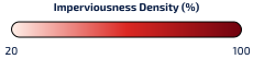
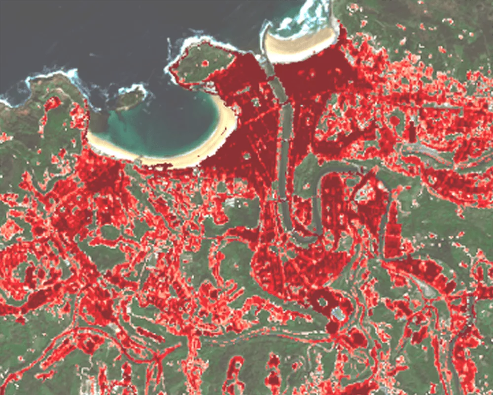
Imperviousness layers from the Copernicus Land Monitoring Service identify highly sealed urban surfaces, such as dense building blocks, roads, and paved areas where rainfall cannot infiltrate the ground. These observations help identify neighbourhoods with the greatest stormwater management challenges and prioritise locations where green roofs could most effectively increase water retention, reduce surface runoff, and complement existing green infrastructure.
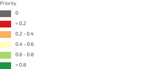
By combining these EO-derived indicators, it is possible to estimate a green-roof benefit index, highlighting rooftops where installation could deliver the strongest cooling and environmental benefits.
The green-roof benefit index shows two things at once: which rooftops are flat enough to grow a green roof, and which parts of the city would benefit most, like areas that get very hot or have little greenery with building age accounted, since older buildings may need costly rehabilitation first. This map-based shortlist of which buildings to target first for maximum climate and social impact can turn a complex spatial analysis into clear, actionable decision support tool for roof greening investment.
Looking Ahead: The Future of EO for Green Roof Planning
Although the use of Earth observation to prioritise green roof retrofits based on their expected environmental benefits is still in its early stages, the outlook is highly promising.
Across Europe, methodologies and assessment frameworks for evaluation the multiple benefits of Nature-based solutions are rapidly maturing, with growing emphasis on systemically quantifying cooling, stormwater management, biodiversity, and climate resilience. Frameworks such as the IUCN Global Standard for Nature-based Solutions and the European Commission's Evaluating the Impact of Nature-based Solutions: A Handbook for Practitioners provide common principles, indicators and methodologies for assessing NbS performance. As these frameworks continue to inform policy and practice, cities will increasingly require consistent scalable, and repeatable spatial information to support implementation and monitoring.
Copernicus is well positioned to meet this need. Earth observation can support both the mapping of where green roofs are expected to deliver the greatest benefits before implementation and the monitoring of their performance afterwards. With new missions, higher-resolution products and growing integration into urban planning workflows, EO has the potential to become a key enabler of evidence-based nature-based solutions across European cities.
Copernicus Driving Urban Policy in Antwerp
One example of a city using Copernicus data to prioritise nature-based solutions is Antwerp. Following studies showing that summer nighttime temperatures in Antwerp could be up to 9°C higher than surrounding rural areas, the city used Copernicus land-surface temperature data and the CLMS Imperviousness layer to map urban heat hotspots. The resulting evidence informed a revision of the building code, introducing mandatory green roofs for new developments. (source)
Who benefits
from Copernicus?
The combination of Copernicus datasets for prioritising green roof investments at city scale represents an emerging approach rather than established operational practice.
Historically, municipalities have relied on engineering-based suitability assessments, while consistent city-wide environmental information has been difficult to obtain and integrate into planning workflows.
By combining land-surface temperature, land cover and vegetation indicators, Copernicus could enable cities to move beyond identifying where green roofs are feasible towards prioritising where they are expected to deliver the greatest environmental benefits.
Benefits for a Climate Adaptation planner
Climate adaptation planners can use green-roof suitability assessments to identify districts where rooftop greening would be most effective in reducing heat exposure and improving urban resilience. By providing consistent, city-scale evidence, these assessments support the development of targeted adaptation strategies and help prioritise investments in nature-based solutions where they can deliver the greatest benefits. The resulting evidence base can also strengthen funding applications and support the justification of climate-adaptation programmes.
Benefits for Building owners and Infrastructure/Construction companies
Building owners and infrastructure or construction companies can use green-roof suitability assessments to identify buildings where rooftop greening could provide the greatest environmental, energy-efficiency, and operational benefits. The information supports retrofit planning through spatially explicit evidence, helping stakeholders prioritise investments and demonstrate sustainability performance.
Explore this
further with us
Copernicus Sentinel data and many Copernicus service products are free and openly available, making it easier to scale monitoring across multiple sites and regions.
EUSPA can support stakeholders by helping identify fit-for-purpose Copernicus datasets, designing meaningful indicators, and connecting with EO service providers to operationalise dashboards, reporting and alerts.